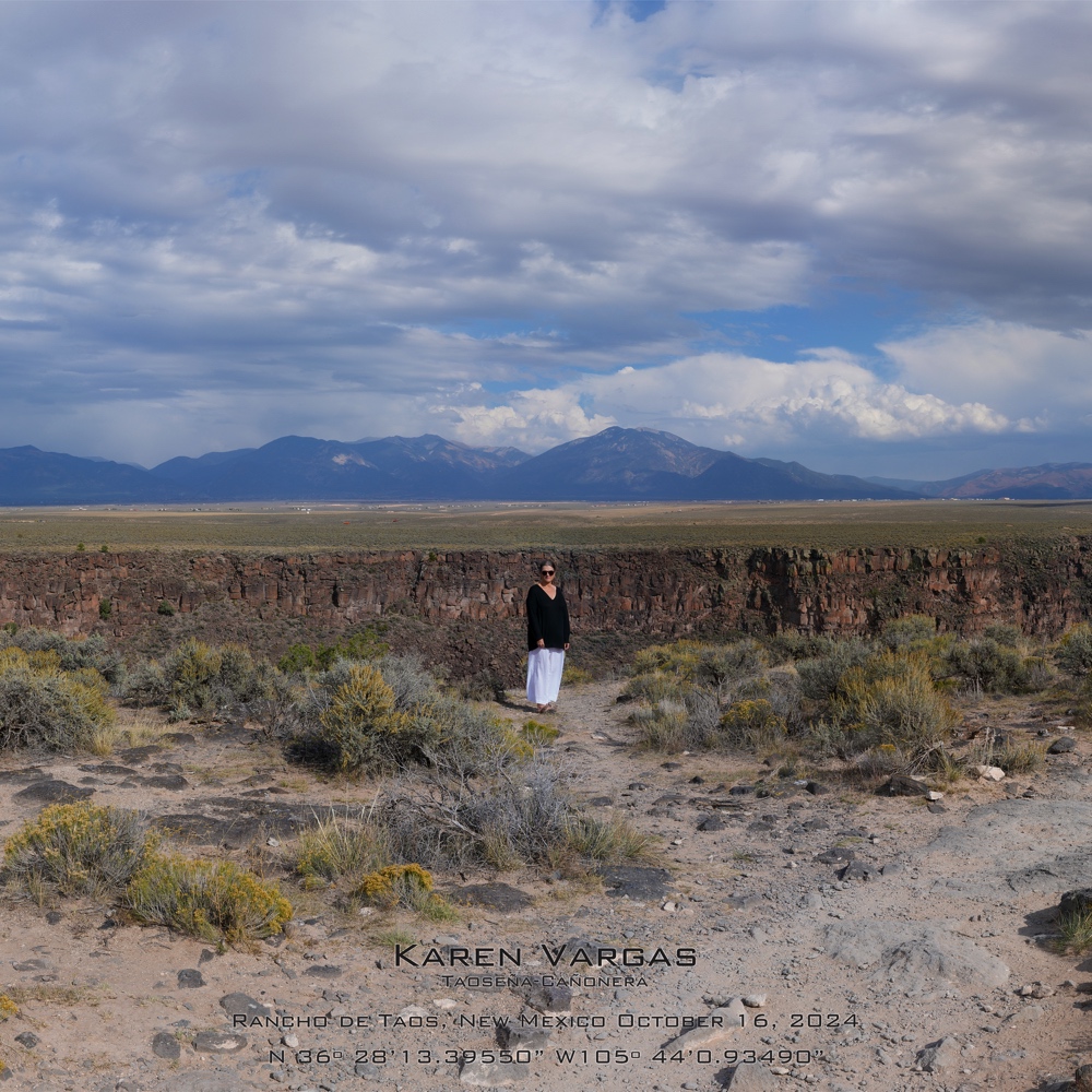
In this photo I’m standing on the west rim of P’Osoge/the Rio Grande Gorge and you can see the Taos Mountain and the Sangre de Christo range of the Southern Rockies approximately thirty miles beyond me. From where I stand, I have a 360- degree view of the Taos Valley and beyond in every direction. Sixty miles to the north, I can see all the way to Colorado and Tsisnaasjiní/Blanca Peak; to the south I can see the light and dark jagged edges of the canyon walls dip down in elevation and snake out of sight toward Black Mesa. From where I am standing in this photo, I can see beyond the photographer to Tres Orejas and the busted sheep corals where Andres Martinez used to herd his sheep and where a large family of eagles used to live before the off-grid hippies moved in.
I live inside the center of an approximate thirty-mile span between the highest and lowest points in elevation in the Upper Rio Grande. It can sometimes feel dizzying. I know a few street names but I can never remember highway numbers. To this day, locals still give directions based on visual markers: Turn left at the rusted Buick on blocks where the pavement turns to dirt; head north past the old blinking light (that doesn’t blink anymore); turn left after Herb’s Lounge (that is no longer called Herb’s Lounge); when you see the (insert red windmill, second ash pile, two black dogs) you’ve gone too far. The directions I give to locals are different than the ones I give to newcomers. When I was a kid and drove to the plaza with my Grandpa in his old green Ford, he would run every stop sign and say indignantly, rebelliously, “We were here before they were.”
KAREN VARGAS
October 2024
